Weather Modification

cloud2bseeding2bsv

Weather Modification

Weather modification is the act of intentionally manipulating or altering the weather. The most common form of weather modification is cloud seeding, which help to enhance  rain or snow percentage, this is done usually  to increase the water supply regionally.

Brief History of Weather Modification

Louis Gathmann in 1891 suggested shooting liquid carbon dioxide into rain clouds to cause them to rain. During  1930s the Bergeron-Findeisen process theorized that super cooled water droplets present while ice crystals are released into rain clouds would cause rain. While researching aircraft icing, General Electric (GE)’s Vincent Schaefer and Irving Langmuir confirmed the theory. Schaefer discovered the principle of cloud seeding in July 1946 through a series of serendipitous events. Following ideas generated between him and Nobel laureate Langmuir while climbing Mt Washington in New Hampshire, Schaefer, Langmuir’s research associate, created a way of experimenting with super cooled clouds using a deep freeze unit of potential agents to stimulate ice crystal growth, i.e., table salt, talcum powder, soils, dust, and various chemical agents with minor effect. Then one hot and humid July 14, 1946, he wanted to try a few experiments at GE’s Schenectady Research Lab.

Within the month, Schaefer’s colleague, the atmospheric scientist Dr. Bernard Vonnegut was credited with discovering another method for “seeding” super-cooled cloud water. Vonnegut accomplished his discovery at the desk, looking up information in a basic chemistry text and then tinkering with silver and iodide chemicals to produce silver iodide. Together with Professor Henry Chessin, SUNY Albany, a crystallographer, he co-authored a publication in Science and received a patent in 1975. Both methods were adopted for use in cloud seeding during 1946 while working for GE in the state of New York.

Cloud seeding flights started from November 13, 1946. Vincent J. Schaefer dropped about 1.5 Kg dry ice pellet from the light weight aircraft into the super cooled lenticular stratocumulus clouds near the Berkshire mountains of Western Massachusetts. Within in 5 minutes the clouds changed into snowflakes that subsequently penetrated about 600 meter into the dry air below the base before subliming completely away. With the spectacular achievement of these experiments the dream of controlling the weather seems to be come true within the grasp of mankind.

Cloud seeding

Cloud seeding is the branch of weather modification that aims to change or enhance the amount of rainfall /snowfall. The substances are dispersed into the atmosphere i.e. stratosphere or troposphere directly above the target of selected area. Nowadays it is widely used to suppress the fog and ease the hailstones during winter season.

  • Substances used in cloud seeding: Silver Iodide, Potassium Iodide, Sodium Chloride ( Brine Solution), Dry Ice, Liquid Propane, Hygroscopic Materials.
  • Source of Cloud seeding: Two Major sources widely used in cloud seeding, one is through Air Borne (Aircraft) and the other through rockets, canister, anti-aircraft guns & generators.

Importance of Cloud Seeding for Pakistan

  • Pakistan is an agricultural country but many parts of Pakistan is facing draught condition. Pakistan is in need to enhance its water supply. To meet this shortcoming of water supply Cloud seeding  played a vital role to fulfill the demand of water supply.
  • The Northern areas of Pakistan has an excessive clouds that can be precipitated and in winters it is possible to enhance snowfall as well. By enhancement of water supply from northern areas and can be able to deliver sufficient amount of water supply through water channels, especially in those areas where Pakistan is facing severe drought condition.
  • The underground water level of Punjab, Balochistan and Sindh are dropped to dangerous level. When Pakistan has excess amount of water then  it automatically recharge our underground aquifers.
  • Now a days Pakistan is facing a smog condition in different areas of Punjab and it is really affected the population health. Causing severe breathe related diseases and so on. Smog can be suppressed by dispersing cloud seeding substances into the atmosphere.
SURFACE DATA LOGGING AND GEOLOGY

Drilling and Rig Operation Demonstration

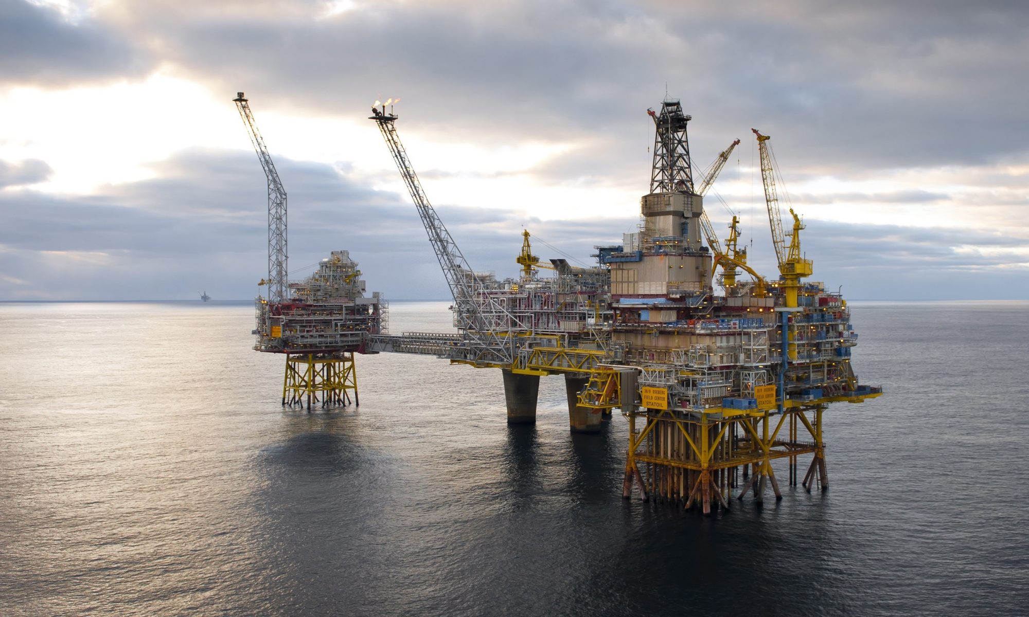
Surface Data Logging (SDL) played a vital role during drilling operations. It helps to study the earth interior structures and stratigraphy while drilling  and also enables to monitor the drilling operations that is going on during drilling a well. Drilling a well is a last step in the oil and gas exploration, in case if the discovery has been made, the other step is to drill multiple wells for the production. After the well has been drilled the operator company would get to know that whether they got oil or gas and is it feasible to extract hydrocarbons from the well or not in favor of operator company and so on.

If nothing found after completed to the target depth (TD) or horizon, then it is declared as  as dry hole or dry well. If something found after completion of drilling the different tests conducted and concluded that whether the well is successful and  check that it is vaible for the production or not, during the test the formation pressure, temperature and check the porosity & permeability of the reservoir rock. If it is successful a packer has been set on the reservoir  and after that a completion assembly runs into the well-bore. Christmas tree  installed over the wellhead and the production can be take place through the Christmas tree. As shown in the figure

220px-wellhead-dual_completion

A Very useful and Brief Video Clip for the Oil and Gas Exploration given below:

2D & 3D Seismology and Surveys

Seismology

Seismology is the study of earthquakes and seismic waves that move through and around the earth. A seismologist is a scientist who studies earthquakes and seismic waves. Now a days artificial seismology is widely used in exploration industry especially in oil & gas and earth mineral exploration.

Types of Seismic Surveys on basis of Wave Types.

  1. Refraction Survey.
  2. Reflection Survey.

Above both surveys are used for the exploration and to study the earth interior as well. Refraction survey is used relatively on small scale, commonly used to study the shallow depth earth structures and stenographic studies. On the other hand reflection survey is used widely and for the detail study of the earth interior. oil & gas exploration companies commonly conducted seismic reflection survey for their exploration purposes.

Refraction Survey

This survey is conducted for the shallow depth studies. Usually the construction companies, ground water exploration companies and shallow mineral exploration companies for the ore and mineral exploration conducted such sort of surveys. The maximum  depth for the refractive surveys are  800 to 900 meters.  The basic principal for the refraction survey is followed by Snell’s Law. The wave is refracted from the boundary of the medium it makes critical angle along the boundary and reflect back to the surface of earth. The sensors are installed onto the surface of earth known as geophones (receivers).  The waves generated through source and around the source the receivers installed that  receives the signals. only single  source can use one at a time at one point but receivers can be multiples. All receivers should be inline and the source may be at the end of the receivers pattern or may be the both sides of source has receiver spread. The offset distances between the receivers and   source should be same throughout the survey, but the offset variation possible for different terrains and areas as well.

webfoto7snell01

The survey method of refraction is given below in video clip

For the details regarding the surveys and their types and processing and further interpretation anyone can visit the geophysics and Geology section.

Geophysical Electrical Studies for Wenner Configuration:

This is one of the most important configuration used in electrical resistivity survey. In the particular electrical configuration the spacing between sink, source and potential electrodes are same. But this is not commonly used because of its limitations.

Limitations:

We cannot move potential electrodes within the array throughout the survey, if there is any problem occur related to spacing issue you cannot change the array or spread length, if someone can do that the results cannot be accurate and readings comes are not accurate. hence our findings will be not exactly and cannot achieve our results by changing configuration.

Uses:

  1. It is used to know the depth of water column, its salinity and the thickness of water column.
  2. It is used to know the resistivity of the Earth Crust.
  3. It is used to know the lithology of Earth Crust.
  4. Can able to detect unconformity and ore materials.

Instruments Used in Resistivity Survey:

  1. Resistivity Meter.
  2. Terra meter.

Instruments Used in Resistivity Survey:

  • Seismometer.

ersurv-horz